
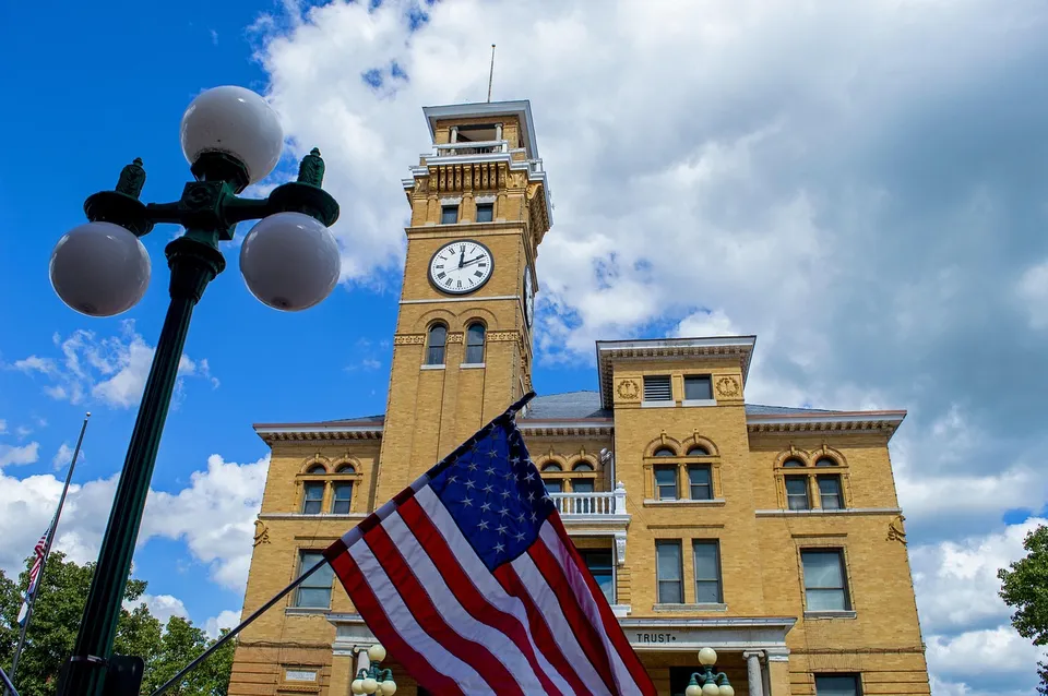
Baudette can look like a small border town at first glance, but its everyday logic is larger than its size. The city sits just south of Lake of the Woods on Highways 11 and 172, and the local map is shaped by more than one purpose at once: county government, river-and-lake recreation, and the international crossing across the Rainy River. That combination is what makes Baudette useful to understand on its own terms, not as a generic northern Minnesota stop.
County services and the border crossing
The biggest clue is that Baudette is not only a city; it is the county seat. Lake of the Woods County centers many of its core services at 206 8th Ave SE in Baudette, and the county’s own directory shows that offices such as the assessor, recorder, land and water, sheriff, and public works are part of that local footprint. For a resident, newcomer, or business owner, that matters because many practical questions do not lead to a distant metro office. They lead to Baudette. In a small place, civic life is not abstract; it is part of the daily route.
That county-seat role also helps explain why the bridge matters so much. MnDOT identifies the Rainy River International Bridge as the crossing between Baudette and Rainy River, Ontario, and the replacement bridge was celebrated in 2020. It connects Minnesota Trunk Highway 72 and Ontario Highway 11, which means the bridge is not just a landmark. It is part of the town’s real geography of movement, border access, and regional connection. Even if someone never crosses into Canada, the bridge still affects how Baudette thinks about itself: as a place at the edge, but also as a place that reaches across that edge.
Parks with a practical purpose
The city’s parks show the same kind of practical variety. Baudette does not treat public space as one interchangeable green patch. Timber Mill Community Park offers RV and primitive camping, which gives it a very different role from the other two parks. Peace Park is the place to look out toward Canada and the International Bridge, so it functions as a viewpoint as much as a resting spot. Bay Front Park is home to Willie the Walleye, which makes it the city’s most recognizable public icon in a form people can actually visit. Together, the three parks show a town that uses public ground for staying, looking, and gathering rather than for ornament alone.
That distinction matters because Baudette is easy to flatten into one label: border town, fishing town, county seat, or park town. In reality, each label catches only part of the picture. The city’s official identity emphasizes its location south of Lake of the Woods, its highways, and its recreational character, while county services and the international bridge give it a more administrative and logistical side. A newcomer who notices only the fishing or only the government offices misses the point. Baudette works because those pieces sit together in one compact place.
The wider region
It also helps to keep Baudette distinct from the other communities around it. Williams is not a Baudette neighborhood; it has its own railroad-era history. The Northwest Angle is not an extension of town either; it is a separate border geography. Keeping those lines clear makes Baudette easier to read. It is the county’s administrative anchor, not a catchall name for every nearby settlement or every point on the lake. That is a small but important habit for anyone trying to understand local life here without oversimplifying the map.
If you want to understand Baudette well, start with the places that do real work: the county offices, the bridge, and the parks. They explain how people get things done, how the town meets the border, and how public life shows up in a community this size. That is also what makes Baudette appealing in its own right: it is compact, but not narrow; practical, but not plain. If you are exploring verified local opportunities or need help thinking through a hiring need in the area, feel free to call 218-WorkNow or email the office.