
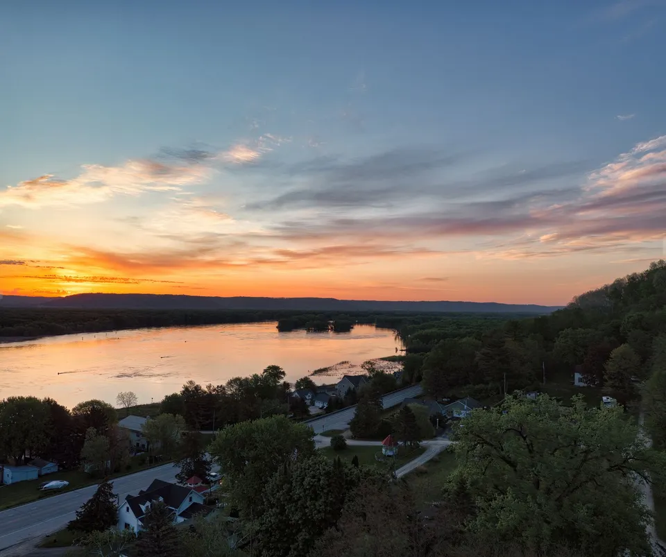
Baudette makes more sense when you stop looking for a big downtown and start reading the places that actually organize daily life. The City of Baudette places the town just south of Lake of the Woods on Highways 11 and 172, while the county’s main public offices sit right in town at the Lake of the Woods County Government Center on 8th Avenue SE. That combination tells you a lot immediately: this is a small place with a border, a bridge, county services, and recreation all pulling in the same direction.
The town is smaller than the job it does
Baudette is not just a name on a map; it is the county seat, which means the town carries a larger share of official business than its size might suggest. The county’s public directory shows core services such as assessor, recorder, sheriff, public works, land and water, and other departments centered there, not scattered across a metro area. For residents, that matters because many routine questions are county questions: property records, parcel details, road issues, and other service functions are handled where the county seat is. The Lake of the Woods County site even makes the government center, directory, and department structure easy to find from one place.
That county-seat role is not an accident of modern branding. The historical record shows that Lake of the Woods County was organized on November 28, 1922 and began operations on January 1, 1923 in Baudette. In other words, the town did not grow around a courthouse as a decorative afterthought; the government center became part of the place’s identity early in the county’s modern life.
The bridge is more than a crossing
If you want one feature that explains why Baudette feels like a border town rather than an isolated lake stop, it is the Rainy River International Bridge. MnDOT identifies the crossing as the link on Minnesota Trunk Highway 72 and Ontario Highway 11 between Baudette and Rainy River, Ontario, and says the replacement bridge was completed in 2020. A project background document says the crossing carried about 1,350 vehicles per day and served full-service 24-hour ports of entry. That is not just infrastructure; it is the route that helps connect local life to cross-border movement, trade, and travel.
The important thing for readers is not the engineering detail by itself. It is what the bridge means in practice. Baudette’s geography is built around the river edge, the county seat, and the international connection all at once. A town like this cannot be understood well if the bridge is treated as scenery. It is part of the daily logic of the place.
The parks each serve a different job
Baudette’s three city parks are useful because they are not duplicates. The city lists Timber Mill Community Park, Peace Park, and Bay Front Park. Peace Park is explicitly described as a place to view Canada and the International Bridge, which makes it a natural spot for understanding the town’s border setting. Bay Front Park is home to Willie the Walleye, the civic mascot that has become part of Baudette’s local identity. The city also uses Willie to mark a recurring tradition, Willie Walleye Day, which helps explain why the town’s public spaces feel tied to community memory rather than simply to park acreage.
That matters because a newcomer can treat the parks as interchangeable green space and miss the point. Peace Park helps you understand the border. Bay Front Park helps you understand the town’s public symbol and its lake culture. Timber Mill gives the city another civic space in a different role. Put together, they show a small community using public places to do distinct work.
The seasons are not a backdrop; they are part of the town’s calendar
Baudette’s identity is tied to water in all four seasons. The local tourism picture around the Rainy River shifts by season: spring and fall fishing, summer boating and fishing, and winter ice fishing all shape how people use the area. That matters because it means Baudette is not just a summer stop or a winter outpost. The same geography supports different kinds of use across the year, and that rhythm helps explain why the town’s public spaces, bridge access, and border setting stay relevant even when visitor behavior changes.
You can also see that seasonal logic in the way Baudette presents itself. The city identifies with the Walleye Capital idea, keeps its parks visible in the center of town, and stays connected to the river corridor and the lake shore. In a place like this, the calendar changes the meaning of the same streets and public spots.
Why this map is useful
For residents, this is a reminder that Baudette’s core systems are close together: city hall, county offices, the bridge, and the main park spaces all sit within a compact geographic frame. For newcomers, it helps explain why so many errands point toward county services rather than a distant suburban center. For visitors, it shows why a short stop can still feel layered: the bridge, the parks, the river, and the border each tell a different piece of the story.
That is the real charm of Baudette. The town is small enough to read quickly, but interesting enough that a second look changes the picture. The roads tell you where it sits. The county offices tell you what it does. The parks tell you how it remembers itself. And the bridge tells you that Baudette is always looking both inward and outward at the same time.
If you are also looking at work in the area or need hiring help, call 218-WorkNow or email the office to talk through verified options.