
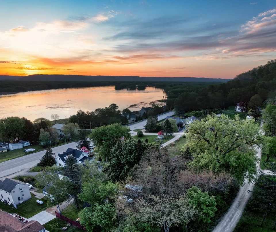
Baudette makes more sense when you stop treating it like a single dot on the map. The city identifies itself on Highways 11 and 172, south of Lake of the Woods, and that location shapes how people move, gather, and get things done. Its public places are not interchangeable: Bay Front Park carries the town’s playful identity, Peace Park points straight toward Canada and the International Bridge, and Timber Mill Community Park adds camping to the mix. Put together, they show a small border town that uses space with purpose rather than decoration.
That matters because Baudette’s everyday life is organized around different kinds of usefulness. Bay Front Park is home to Willie the Walleye, the figure that has become one of the city’s best-known symbols. Peace Park is where the city says visitors can look out toward Canada and the International Bridge, which gives the park a role that is partly scenic and partly geographical. Timber Mill Community Park does something different again: the city describes its campground as offering RV and primitive camping, so it functions as a place to stay, not just a place to pass through.
That variety is part of Baudette’s identity as a place shaped by water and access. The city’s own description links the town to year-round outdoor activity, and Lake of the Woods Tourism divides the local recreation calendar into spring and fall Rainy River fishing, summer boating and fishing, and winter ice fishing. In other words, Baudette is not built around one peak season. The same landscape supports different uses across the year, which helps explain why parks, river views, and campground space all matter here.
The bridge strengthens that pattern. MnDOT identifies the Rainy River International Bridge as the crossing between Baudette and Rainy River, Ontario, on Minnesota Trunk Highway 72 and Ontario Highway 11. The replacement bridge was completed in 2020, and the project background notes that the crossing carried about 1,350 vehicles per day. That is a useful clue about Baudette: the town is not only a destination, but also a point of connection, with international movement built into its normal geography.
The county seat adds another layer. Lake of the Woods County places the government center at 206 8th Ave SE in Baudette, and the county’s services are anchored there rather than spread thinly across the region. That means Baudette is doing more than hosting recreation and tourism. It is also where residents and nearby communities go for county-level administration, records, and public business. In a town this size, that concentration matters because it gives the city a practical role beyond its identity as a border community.
What makes Baudette interesting is the way these functions overlap without blending together. A person might come for a county task, look across the river from Peace Park, pass the Willie the Walleye landmark at Bay Front Park, and still be looking at a place that feels coherent. That coherence comes from having a few strong public addresses that each answer a different question: Where do we gather? Where do we cross? Where do we handle business? Where do we stay if we want to linger? Baudette’s answer to all of those questions is small, direct, and surprisingly complete.
For a newcomer, that is the most useful way to read the town. Start with the public places that do actual work. Bay Front Park explains the local personality. Peace Park explains the border view. Timber Mill Community Park explains how the city supports visitors and campers. The county government center explains why Baudette feels administrative as well as recreational. And the bridge explains why the town’s borders are also its connections. Once you see those roles clearly, Baudette stops looking like a small place with a few attractions and starts looking like a well-assigned community.
If you are exploring work or hiring needs in the Lake of the Woods area, Express can help you compare verified opportunities and local staffing questions without guessing.