
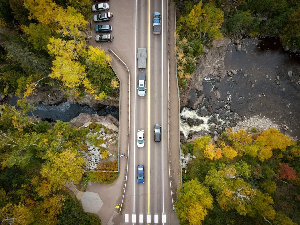
Baudette is small enough that outsiders sometimes read it as a single dot on the map, but locals move through a different system. The city sits south of Lake of the Woods on Highways 11 and 172, the county government center is at 206 8th Ave SE, and the Rainy River International Bridge links the community to Rainy River, Ontario across the river. Those anchors explain more about daily life here than any broad North Woods label does.
Start with the county seat
One useful way to read Baudette is to begin with the county seat. The county site keeps a long list of services centered in town, including assessor, recorder, land and water, social services, sheriff, public works, and more. That matters because a resident often comes here for more than one errand at a time, and the county website is built for that reality. For newcomers, Lake of the Woods County is not just a background source; it is one of the places that shows how the town actually functions.
This arrangement also helps explain why Baudette feels organized around institutions rather than sprawl. The historical society says the county was organized in 1922 and began operating in 1923, after rail-era settlement and earlier growth along the Beaudette River. That long habit of rebuilding and re-centering gives the town a practical, not decorative, public core.
The bridge is a signal, not just pavement
Minnesota and Ontario meet here in a very literal way. MnDOT identifies the Rainy River International Bridge as the crossing on Minnesota Trunk Highway 72 and Ontario Highway 11, and its project page says the replacement was completed in 2020. That makes the bridge more than a route across water: it is a sign that Baudette looks both inward to county services and outward to cross-border travel, trade, and family visits. Peace Park reinforces that orientation; the city says the park is a place to view Canada and the bridge itself. MnDOT’s bridge page and the city page tell the same story from different angles.
The bridge also changes how you think about the town’s size. A place with an international crossing does not behave like a dead-end village. It behaves like a connector, even when the population is modest and the streets are quiet. That is the part many visitors miss on a first pass.
The parks are not duplicates
Baudette’s three municipal parks do not do the same job. Timber Mill Community Park includes RV and primitive camping, so it serves people who want to stay close to town while still treating the area as a base camp. Bay Front Park is where Willie the Walleye lives, which gives the place a recognizable civic symbol and a clear family destination. Peace Park does something different again: it gives visitors a view toward Canada and the international bridge. Put together, the parks show a town that thinks about recreation, identity, and orientation as separate needs rather than one generic green space.
That matters because a small town can be easy to flatten into one image. In Baudette, the parks make a better argument than any slogan. One park is for camping, one is for the town mascot, and one is for the view that reminds you where you are.
Seasonal life is part of the map
The local calendar is not fixed to one kind of recreation. Lake of the Woods Tourism describes spring and fall Rainy River fishing, summer boating and fishing, and winter ice fishing, so the same waterways support very different routines across the year. In other words, Baudette is not only a summer stop or only a fishing town; it is a place where the season changes the kind of day people are planning.
That also helps explain why public places matter so much here. When water, weather, and border access all shape the rhythm of the year, the town’s parks, bridge, and government center become more than points on a map. They become decision points.
Another access point many people overlook
Baudette even has an air connection that fits the same pattern of practical geography. MnDOT’s airport directory lists Baudette International Airport and Seaplane Base at 1103 Airport Road NW, with customs and seasonal operational notes that make it clear the field matters for more than local hobby flying. That does not replace the bridge or the highways, but it adds another layer to a town that already serves road, river, and lake traffic.
Put all of that together and Baudette starts to look less like a tiny county seat and more like a compact system. The county center answers civic questions. The bridge answers border questions. The parks answer recreation questions. The lake and river answer seasonal questions. Even the airport fits the same pattern.
A practical way to read the town
If you are new to Baudette, or just trying to understand it better, start by asking what kind of place you are looking for:
- County forms, property questions, or local services point you toward the county center in town.
- A view across the river or a sense of the border points you toward Peace Park and the bridge.
- A place to camp, stop with family, or meet the town’s civic symbol points you toward Timber Mill or Bay Front Park.
- A travel or arrival question that is not on the highway may belong at the airport directory instead.
That is the real advantage of Baudette’s layout. It does not ask people to guess. It gives them a few clear places to start.
If you are hiring in the area or want to check verified local openings, call 218-WorkNow or email the office.