
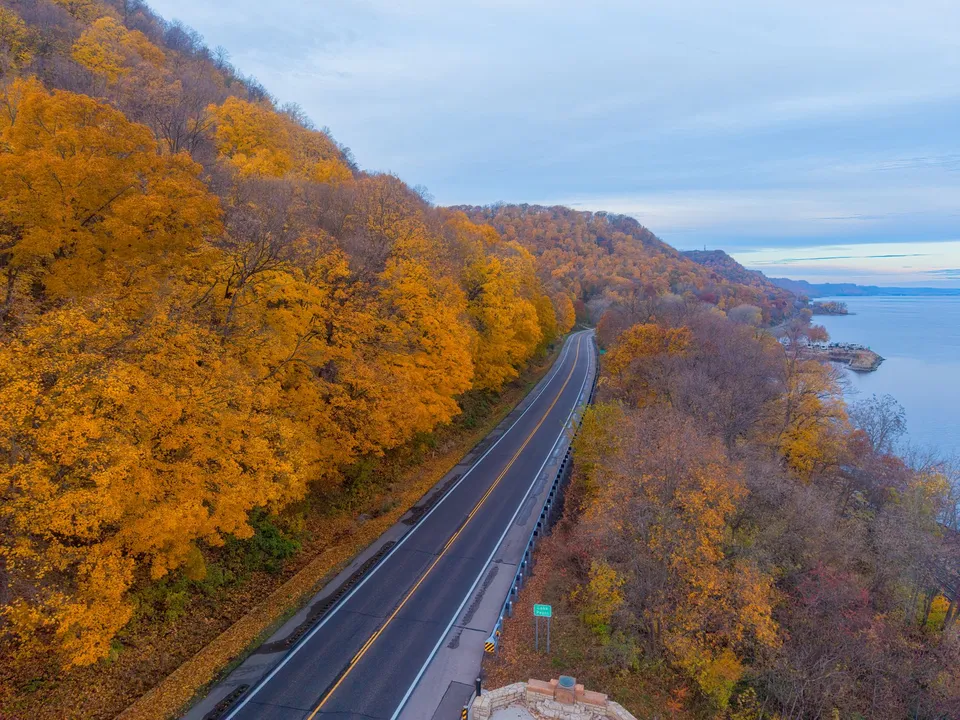
Baudette is easier to understand when you stop looking for one big attraction and start asking what each place is for. The city identifies itself with Highways 11 and 172, south of Lake of the Woods, which already tells you something important: this is a town organized around access, movement, and the water nearby. Then the parks, campground, and river seasons fill in the rest of the picture.
That matters because Baudette is not trying to be everything in one spot. It has different places for different jobs, and that is exactly why it makes sense. A newcomer trying to get oriented, a resident planning an afternoon, or a visitor deciding whether to stay a little longer all benefit from reading the town by purpose instead of by name alone.
Start with the roads, because Baudette does
The city’s own identification with Highways 11 and 172 is more than a map detail. It frames Baudette as a place you reach, pass through, or base from, rather than a place built around a single dense center. For everyday life, that changes how people think about errands, directions, and timing.
If you are arriving for the first time, the roads tell you that Baudette is not hiding behind layers of traffic or long urban blocks. If you already live nearby, they remind you that the town’s usefulness comes partly from being legible: you know where you are in relation to the highway, the water, and the public places that people actually use.
That simple geography also helps explain why the town’s public spaces feel so practical. They are not interchangeable decorations. They answer different questions.
The parks do different work
Baudette’s city listing points to three public spaces: Timber Mill Community Park, Peace Park, and Bay Front Park. Taken together, they give a better sense of the town than any single postcard view could.
Peace Park is the clearest example of how a local place can do one thing very well. The city says it offers views of Canada and the International Bridge. That makes it a natural place for the border story to become visible without any complicated explanation. You do not need a long history lesson to understand why people stop there. The view itself does part of the work.
Bay Front Park adds a different kind of local identity. The city identifies it as the home of Willie Walleye, which gives the park a recognizable public character. It is not just green space; it is a place tied to a symbol people remember. That matters in a town like Baudette, where a landmark is often useful because it becomes an easy reference point for residents and visitors alike.
Then there is Timber Mill Community Park, which is also where the city’s campground sits. The city describes the campground as offering RV and primitive camping. That small detail matters because it shows that Baudette is not only a pass-through town or a day-trip stop. It also has a place designed for people who stay close to the water and the town for a while, whether they arrive with a rig or with simpler camping needs.
Those three places tell a practical story: one park frames the border, one gives the town a memorable public icon, and one supports overnight stays. Put differently, Baudette’s parks are useful because they do not try to be the same thing.
The river changes what the town is for
Baudette also makes more sense when you read it alongside the seasons around the Rainy River. Lake of the Woods Tourism describes spring and fall Rainy River fishing, summer boating and fishing, and winter ice fishing. That is not just a recreation note. It is a clue about how the area works over the course of the year.
A town with that much seasonal variety is never just one kind of place. In one part of the year, the water is part of a fishing plan. In another, it is a boating route. In winter, it becomes part of a very different experience altogether. For someone trying to understand Baudette, that means the local rhythm changes with the river. The same community that helps organize a summer day also makes sense in cold-weather season, when the water is serving a completely different purpose.
That is one reason Baudette can feel so specific without being complicated. The town does not need to reinvent itself every few months. Its setting already gives it multiple uses.
A better way to read a small town
The useful question in Baudette is not “What is the one thing here?” It is “What job is this place doing?”
If you ask that question, the town becomes easier to read:
- The highways explain how people arrive and orient themselves.
- Peace Park explains the border.
- Bay Front Park gives the town a public symbol.
- Timber Mill Community Park and its campground explain how people can stay.
- The Rainy River seasons explain why the place matters differently in spring, summer, fall, and winter.
That is a strong structure for a small town. It keeps the map simple, but it still leaves room for variety. It also gives residents and newcomers a practical way to think about Baudette without flattening it into one label.
So the next time you look at Baudette, try reading it by purpose instead of by scale. One place tells you how to arrive. Another tells you where the border feels visible. Another tells you where people linger. The river tells you when the town changes character. That is not a random collection of features. It is the town’s logic.
If you are exploring local work options or have a hiring need in the region, call 218-WorkNow or email the office.