
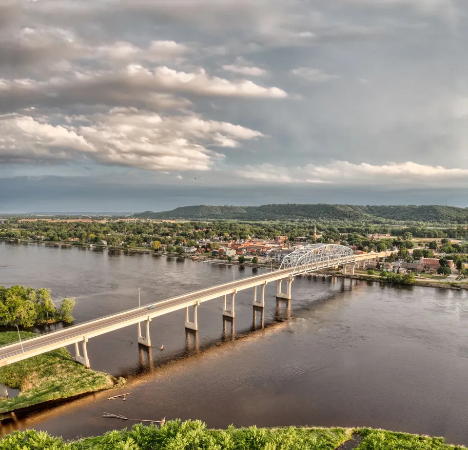
Baudette is easier to understand when you stop looking for one center and start noticing how a few public places divide the work. The city identifies Baudette with Highways 11 and 172, south of Lake of the Woods, and its own civic map is built around three different parks rather than one interchangeable green space. Peace Park is a place to view Canada and the International Bridge, Bay Front Park is home to Willie the Walleye, and Timber Mill Community Park offers RV and primitive camping. That is not random variety; it is a compact lesson in how the town handles border geography, local identity, and overnight recreation in separate, useful ways.
A town with separate jobs
One reason Baudette feels practical is that its important places are assigned clearly different tasks. The Lake of the Woods County government center sits at 206 8th Ave SE in Baudette, which matters because a lot of the area’s administrative life runs through the county seat rather than through a sprawling city hall district. In other words, if you need to think about public business in this part of the county, you are not just thinking about a town name; you are thinking about a place where county operations, border access, and public gathering spaces all sit within the same small geography.
That layout helps explain why Baudette can feel both small and unusually connected. The city itself is not asking every public space to do the same job. Instead, one place handles camping, one handles local identity, and one handles the border view. For a resident, that means fewer decisions get forced into the wrong setting. For a newcomer, it means the town becomes easier to read once you ask, “What is this place for?” rather than “What is here?”
Three parks, three purposes
Timber Mill Community Park is the most straightforward of the three. The city’s campground page says it offers RV and primitive camping, which makes it the park you think about when the question is not sightseeing but staying overnight. That distinction matters because it shows Baudette’s public spaces are not just decorative. One of them is built to help people arrive, settle in, and use the town as a base rather than just a stop on the way through.
Peace Park serves a very different purpose. The city says it offers views of Canada and the International Bridge, so this is the place that turns Baudette’s border position into something visible and easy to grasp. You do not need a long explanation of international geography when a local park lets you look toward it. That makes Peace Park more than a scenic stop; it is also a civic classroom, showing why this town is not just near water, but tied to a crossing and a neighboring country.
Bay Front Park does something else again. By placing Willie the Walleye there, the city turns a local icon into a public landmark people can actually use as a meeting point, a photo stop, or a way to orient themselves in town. Willie is part of Baudette’s identity, but the interesting part is that the statue is not isolated from daily life. It sits in a park, which means the symbol is folded into ordinary use instead of being locked away as a museum piece.
Seen together, those three parks explain a lot about Baudette’s priorities. One park supports camping, one frames the border, and one anchors the town’s most recognizable mascot. That is a useful arrangement because it gives different kinds of visitors, residents, and passersthrough a place that matches their reason for being there. A family staying the night, a traveler curious about the bridge, and a local running errands do not need the same public space to serve them. Baudette appears to understand that.
The bridge is not just scenery
The Rainy River International Bridge gives that logic a larger scale. MnDOT identifies it as the crossing on Minnesota Trunk Highway 72 and Ontario Highway 11 between Baudette and Rainy River, Ontario. The bridge was built in 1959, replaced in 2020, and described in background materials as carrying about 1,350 vehicles per day while serving as a full-service international port-of-entry link. That is a lot of responsibility for one piece of infrastructure, and it explains why border geography is not an abstract idea here. It is a daily route, a logistics channel, and part of the town’s identity.
That history also helps explain why Baudette’s public places are so legible. If the bridge is one of the town’s major connections to the outside world, then the parks and the county center are not competing with it; they are organizing life around it. Peace Park lets people see the crossing. The county government center handles the official work that belongs to a county seat. Bay Front Park gives the town a shared symbol. Together they make Baudette feel coordinated rather than scattered.
Seasons change the town’s rhythm
Baudette is also a place where the calendar changes how people use the area. Lake of the Woods Tourism describes spring and fall Rainy River fishing, summer boating and fishing, and winter ice fishing. That matters because it shows the town’s public spaces are not only about fixed addresses; they are also about seasonal habits. The same border-and-water geography that makes the parks distinctive in summer also makes the area useful in winter, just in a different way.
So the town is not really one story about summer visitors, winter anglers, or year-round residents. It is a sequence of local uses that overlap. Someone can arrive for camping, pass through for a bridge crossing, return later for fishing season, and still recognize the same compact layout. That continuity is one reason Baudette makes sense to people who pay attention to place: the town changes with the season, but its main purposes stay clear.
What this means if you are new here
If you are new to Baudette, the most helpful habit is to match the place to the question. Want to stay overnight? Timber Mill Community Park is the obvious public starting point. Want to understand the border? Peace Park is the clearest view. Want a familiar local landmark? Bay Front Park and Willie the Walleye give you that. Need to handle official business? The county government center anchors it. This is a town where a little local map-reading pays off because different places really do different work.
That may be the best way to describe Baudette overall. It is not trying to be bigger than it is. It is trying to be useful in the ways that matter here: for crossing, camping, governing, fishing, and gathering. That is a modest design, but it is also a smart one. If you want to explore the area further or need to match local work with verified openings, you can call 218-WorkNow to discuss current needs.